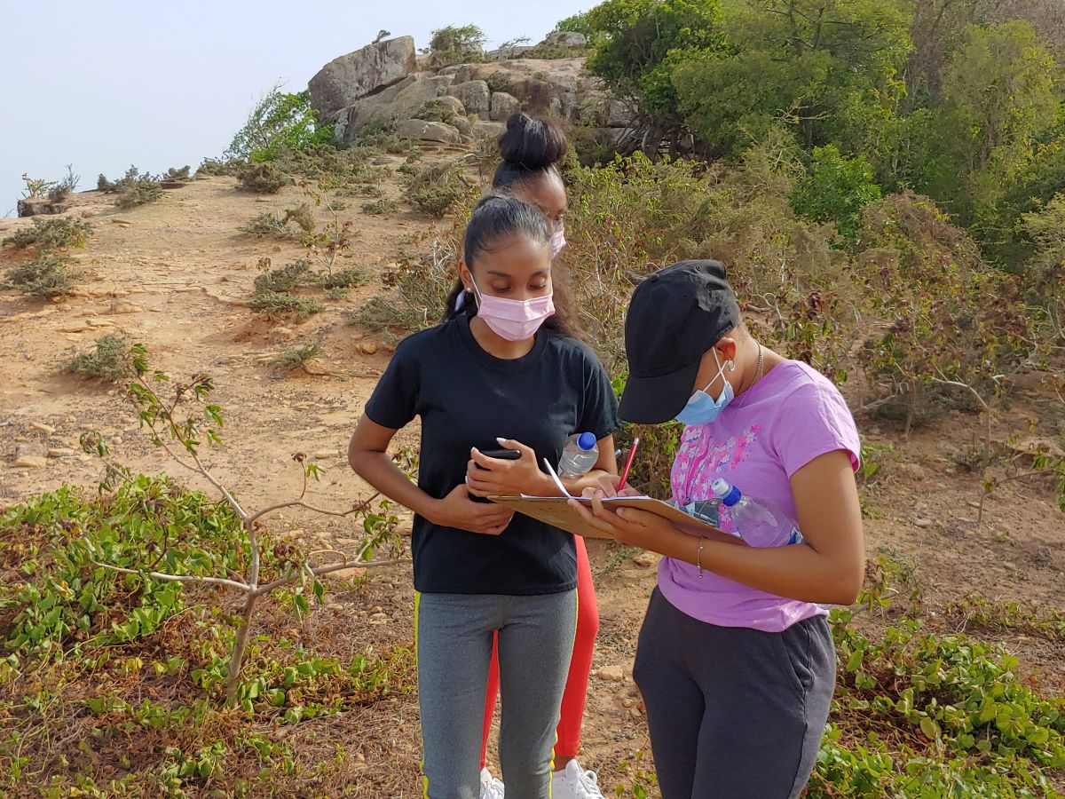
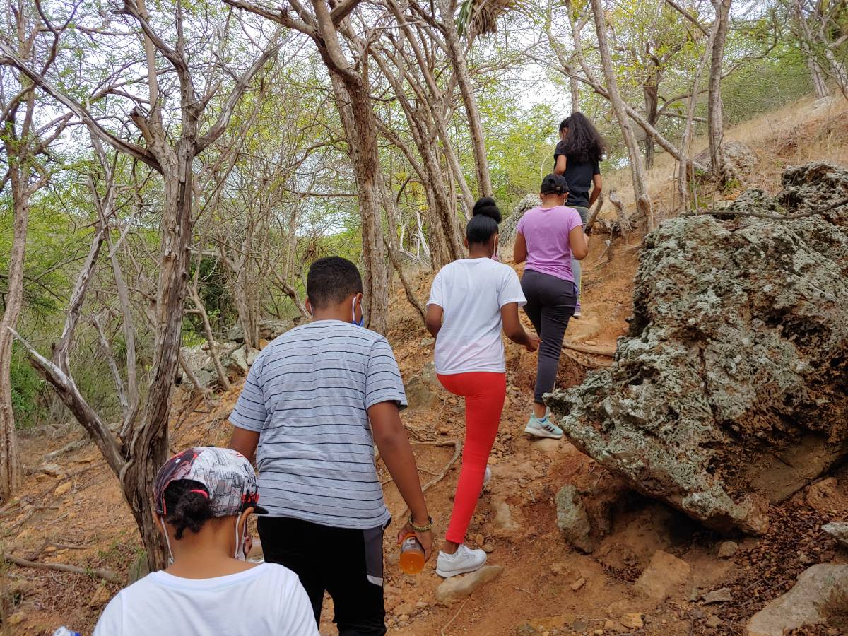
(English) Volunteers engaged in a hike and mapping activity where they were tasked to map the area noting important landmarks, roads etc.
Upon conclusion maps were discussed and a presentation of an ideal map was done by the facilitator, explaining what should be looked for when mapping and all other considerations to be taken including waterways prone to flooding and its effect on the landscape and population, access roads, habitation of the elderly. Thanks to Mr. Manuel Pena Lugo for conducted the activity!